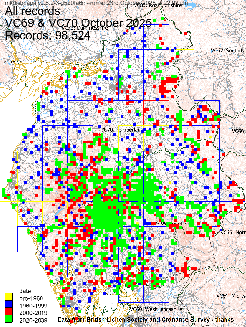
Select from the drop-down list below to view the distribution map for a lichen species in Cumbria VC69 and VC70 as of October 2025. The first map shows the number of species in each monad, tetrad or hectad; clicking on a square will list the species below the map. Dates are for most recent record. Click to see more details.
More up to date and/or more complete maps may be available on the British Lichen Society website.
On a laptop: click on the list and then start typing the name (quickly) to find a species. Then press enter; you can now move between maps using the arrow keys.
|
|
Map generated by
The maps may include the latest species name and the conservation evaluation status letters.
Thanks to the British Lichen Society for the data, OpenStreetMap Ordnance Survey for the open data and QGIS. Maps made using the mkdistmaps tool.